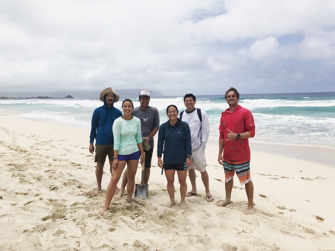
CCCIA affiliated staff, postdocs, and grad students recently traveled to North Beach, Kāne‘ohe, on O‘ahu Island, Hawai‘i to help assess the impact of rising sea levels and future wave conditions at various U.S. Department of Defense sites across the Pacific.
The project is sponsored by the U.S. Department of Defense Strategic Environmental Research and Development Program (SERDP) and is being conducted by researchers at SIO, Oregon State University, Universidad de Cantabria, University of Hawai‘i at Mānoa, the US Geological Survey, and others. The goal is to find cost-effective solutions for predicting the impact of waves and water levels and forecast the likelihood of conditions that lead to coastal flood events for better preparedness and management of infrastructure and natural ecosystems on DoD lands in the Pacific. SIO participants included Center director Mark Merrifield, Research Scientists Luc Lenain and Adam Young, Project Scientist Julia Fielder, Postdoc Mika Siegelman, Staff Mele Johnson and graduate student Austin Barnes.
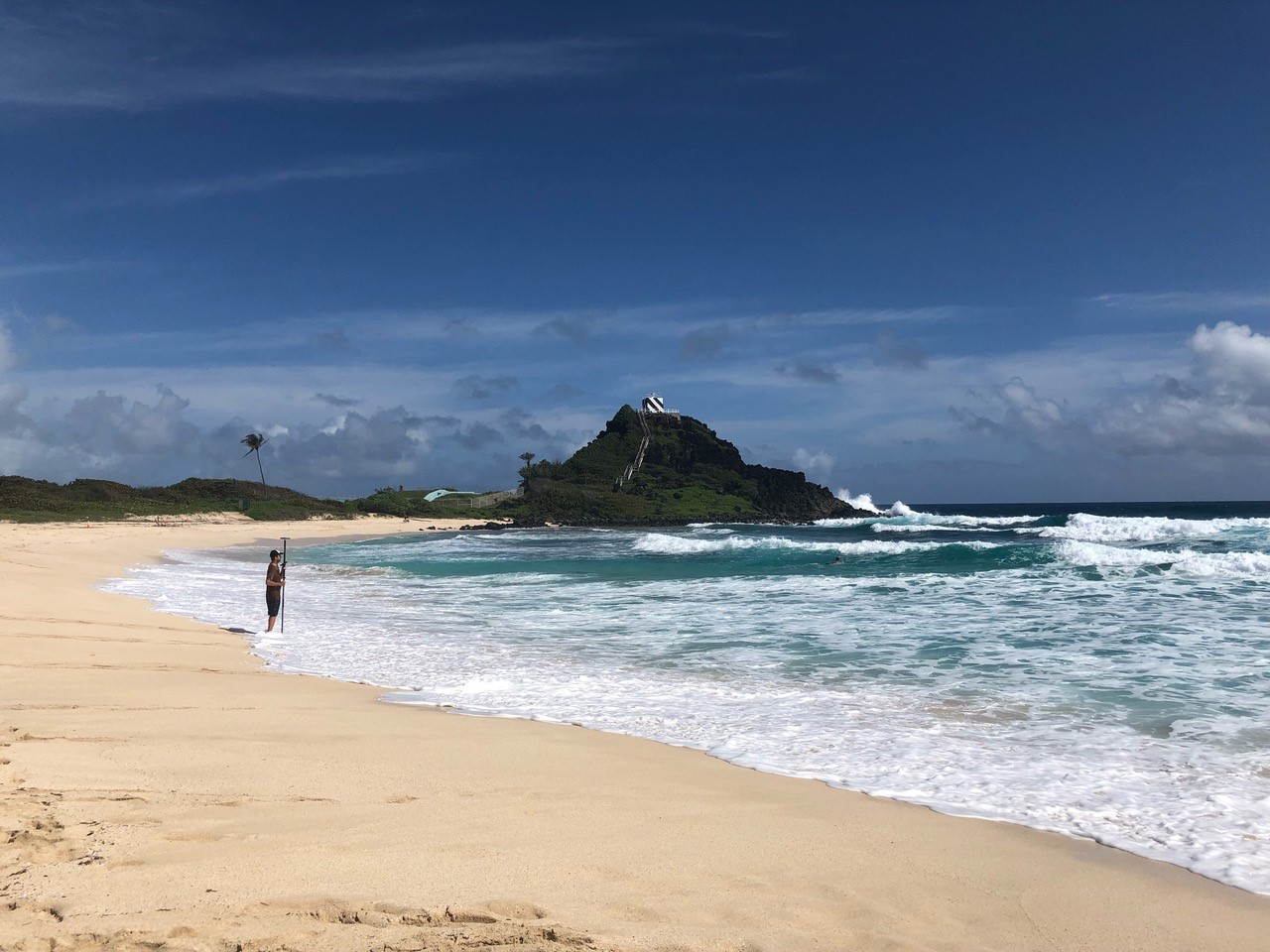
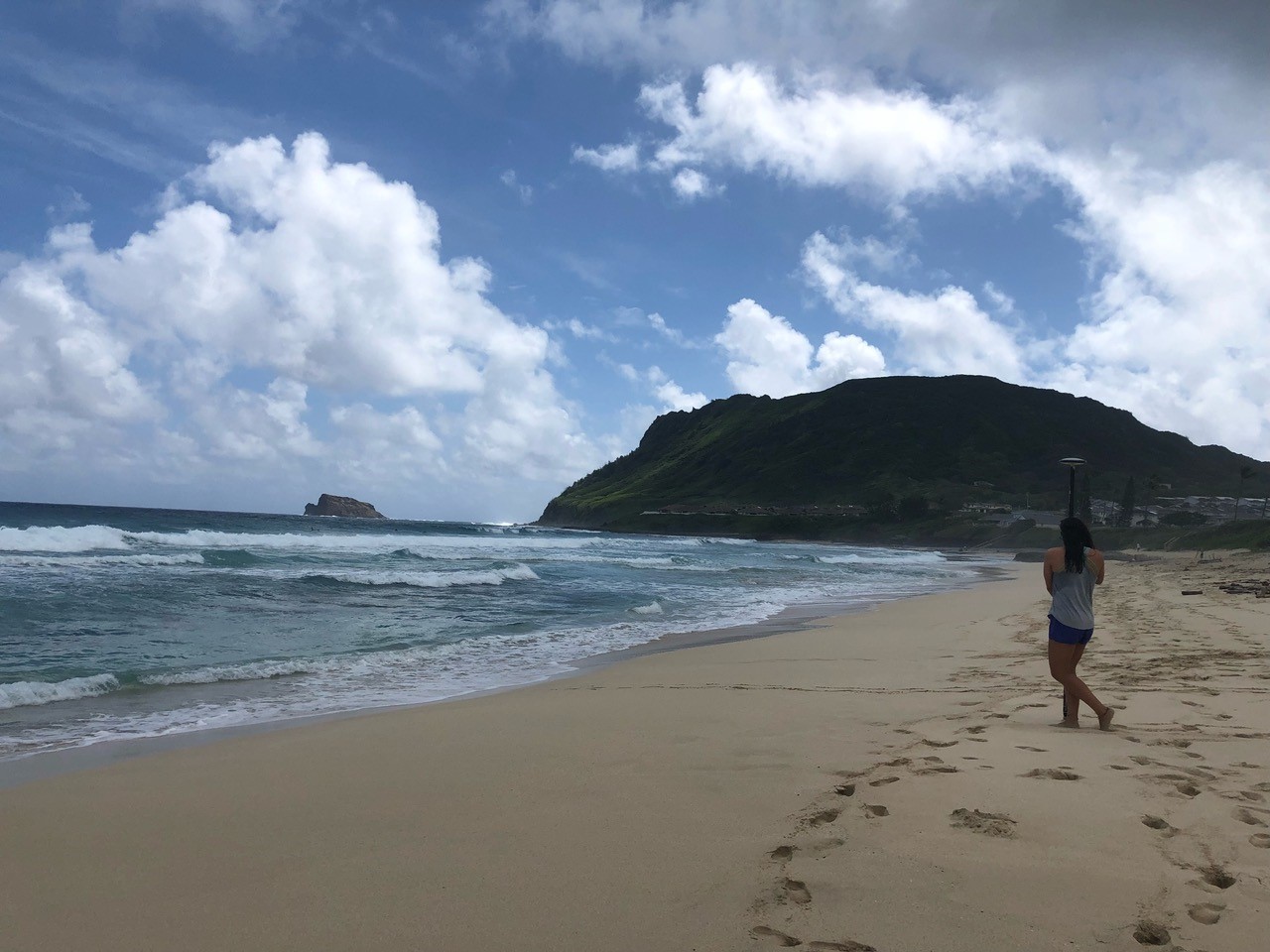
To kick the project off, Mele Johnson and Mika Siegelman helped install a number of sensors on the beach and offshore to measure waves and currents, tracking the waves running up the sandy shore. “The waves weren’t small,” Mika told us. “We had to use a metal detector to find our sensors at the end of the deployment!” While the sensors were deployed, Adam Young and Luc Lenain’s team flew a plane equipped with LiDAR overhead, precisely measuring beach and seafloor elevation. Because of the clear water, the bathymetric LiDAR could see approximately 10m, or 30 feet, below the sea surface, providing critical information for future flood modeling.
Back on dry land in San Diego, Julia Fiedler used these measurements to calibrate a series of computer simulations of waves rushing up the beach face, with the goal of understanding the major processes involved in extreme high water levels at North Beach. “We know from local lifeguard knowledge that the sand levels change dramatically with the seasons at this embayed beach, with noticeably different sand bar and berm patterns in the spring and fall because of the shifting wave climate,” says Julia, “and previous topographic and bathymetric measurements support this.”
Using additional simulations with older bathymetric data and higher water levels offshore, Austin Barnes then tuned an empirical formula for maximum total water level at the shoreline. “We tried to break things down, looking at how both the incoming swells and the shape of the beach might affect both the average water level (what we call ‘setup’), and also the quicker run-ups of individual waves,” says Austin. “Interestingly, it turns out that the wave setup doesn’t really care what the part of the beach where the water runs up the beach looks like.” This formula will soon be coupled with predictions of the mid-Pacific climate and sea level to provide a valuable glimpse into the vulnerability of coastal sites like North Beach, Kāne‘ohe to coastal flooding.