
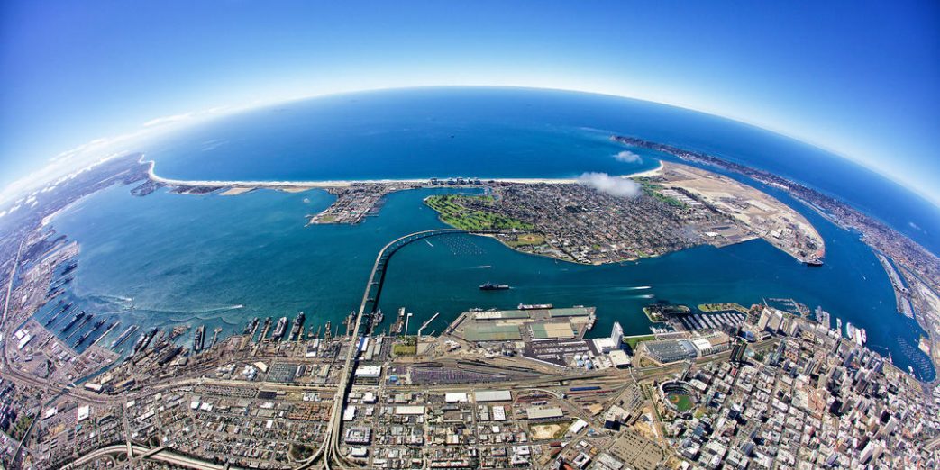
Top image by Port of San Diego.
As part of the Coastal Resilience Network, center postdocs Julia Fiedler and Angelica Rodriguez, along with Program Director Laura Engeman, recently led a webinar panel to share insights on understanding flood risk at a local scale.
Their presentations focused on the center’s San Diego Bay and Imperial Beach case studies and explained how these projects can serve as examples for using coastal observations of coastal ocean and weather conditions to enhance local flooding models. This information can be used to help communities address questions such as: What causes flooding and why? What types of flood responses are most appropriate in different locations?
Both projects also emphasize how this research helps to inform community-based adaptation responses to sea-level rise and storm events in the future.

The full webinar recording can be found here. To join the California Coastal Resilience Network, sponsored by the State Coastal Conservancy, click here.