Resilient Future Project
San Diego Bay
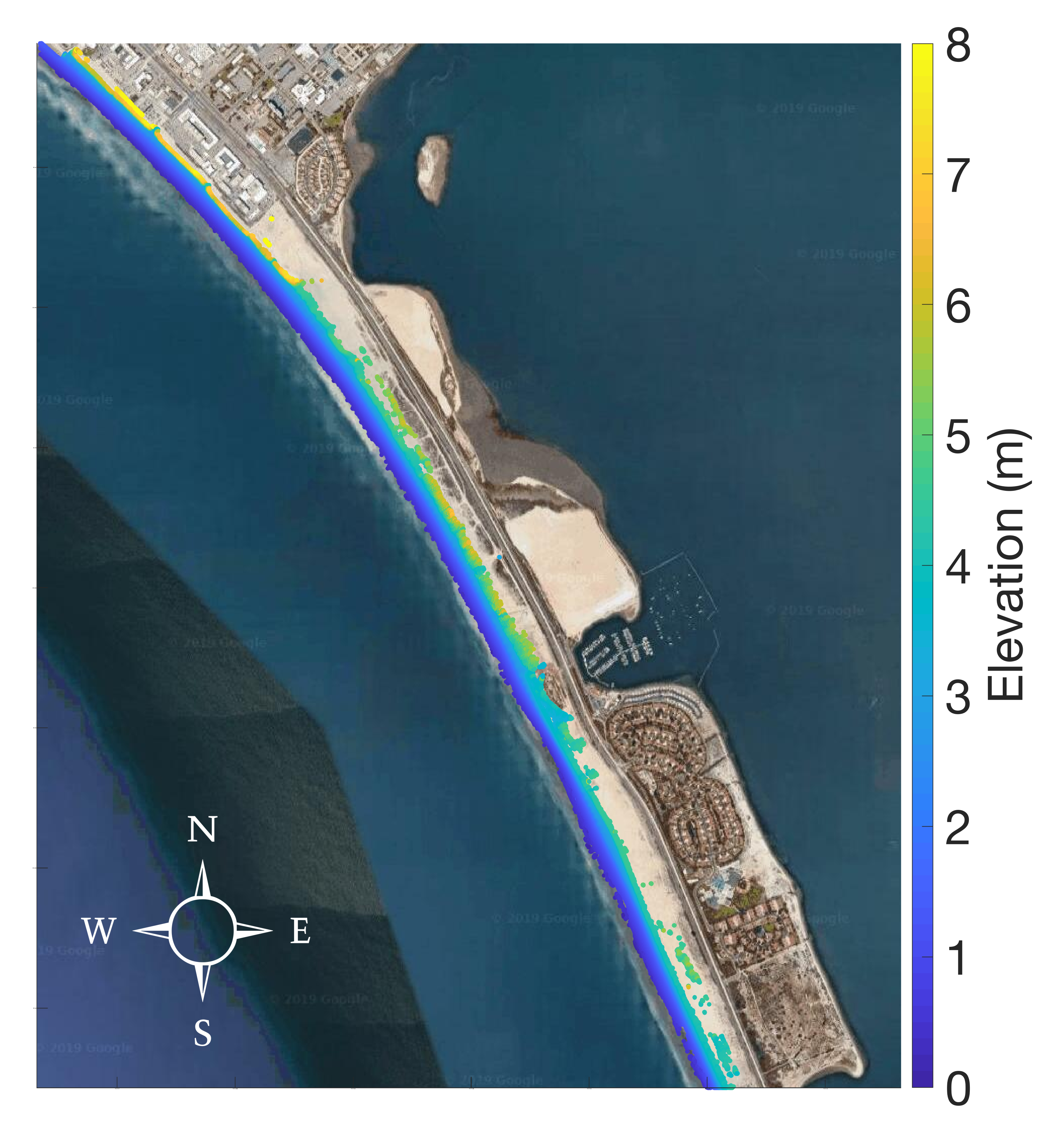
Silverstrand North Beach Elevation
LiDAR (Light Detection and Ranging) is a remote sensing survey method that measures distance to the earth using a pulsed laser.
The following elevation data was collected during a LiDAR survey on July 19th, 2019.